UN Votes to Ditch Mercator Map in Favour of Projection That Shows Africa's True Size
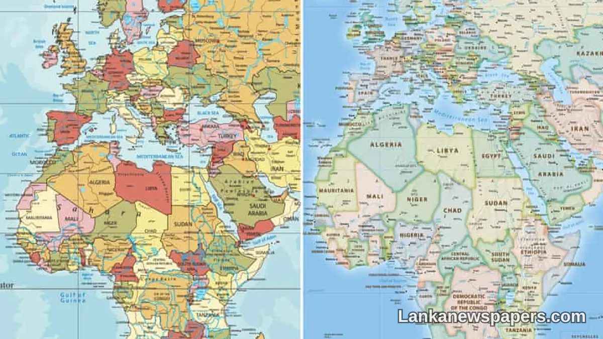
A Historic Shift in How the World Sees Itself
The United Nations has passed a landmark resolution calling for a global phase-out of the Mercator map — the centuries-old world map that has shaped how generations of people perceive the size and importance of countries across the globe.
What Is Wrong With the Mercator Map?
Introduced by Flemish cartographer Gerardus Mercator in 1569, the projection was originally designed to assist marine navigation. While effective for that purpose, it significantly distorts the relative size of landmasses, making countries and continents closer to the poles appear far larger than they actually are.
The consequences of this distortion are stark. Africa — the world's second-largest continent — appears roughly the same size as Greenland on the Mercator map. In reality, Africa is approximately fourteen times larger than Greenland. Similarly, Europe and North America are rendered far more prominent than their true geographic scale warrants, while the Global South is visually diminished.
Critics have long argued that this misrepresentation is not merely a technical flaw but carries deeper geopolitical and psychological implications, subtly reinforcing a Eurocentric worldview that understates the significance of nations across Africa, Asia, and Latin America.
The UN Resolution
Member states at the United Nations voted in favour of a resolution to formally move away from the Mercator projection as the standard reference map used in international institutions, educational materials, and official communications. The resolution encourages the adoption of more accurate equal-area projections, which depict landmasses in their correct proportional sizes relative to one another.
Among the alternatives gaining favour is the Gall-Peters projection, which sacrifices some shape accuracy in order to represent the true area of each country and continent. Other modern projections, such as the AuthaGraph, have also been cited as more balanced representations of our world.
A Moment of Significance for the Global South
For nations across Africa, Asia, and the broader developing world, the UN vote carries considerable symbolic weight. Advocates of the change argue that accurate maps foster more equitable global conversations — particularly on issues such as climate change, resource distribution, and international aid, where the physical scale of affected regions matters enormously.
African nations in particular have welcomed the resolution, noting that the continent's true vastness — home to 54 countries and over 1.4 billion people — has long been obscured by cartographic convention.
What This Means Going Forward
The resolution does not impose an immediate or mandatory ban on the Mercator projection. Rather, it sets out a framework for a gradual transition, encouraging member states, educational institutions, and media organisations to review the maps they use and consider more accurate alternatives.
For Sri Lanka and other nations in South Asia, the shift carries practical relevance. The Indian Ocean region — of immense strategic, economic, and environmental importance — has often been rendered peripheral on traditional world maps. A more proportionally accurate representation could help assert the region's true centrality in global affairs.
Cartographers and geographers have broadly welcomed the UN's decision, noting that no single map projection can be entirely free of distortion, but that choosing projections which prioritise area accuracy over navigational convenience is a significant step toward a more honest representation of the world we share.


💬 Join the Discussion 2
See what readers are saying — and add your view.
finally, Africa always looked tiny on old maps. good change actually
yes but who is going to reprint all the school textbooks lol